

Brief history of the Barangay
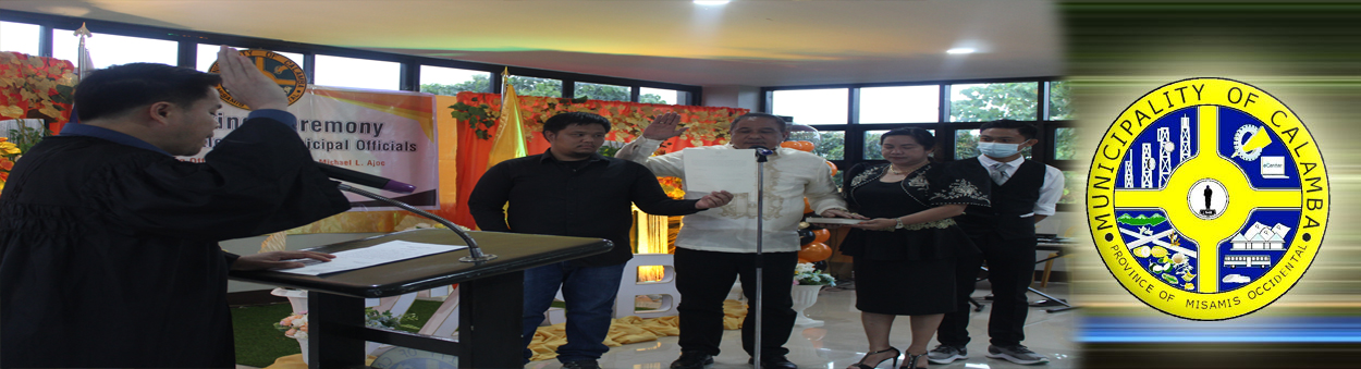
Calamba was formerly called SOLINOG, a part of the municipal territory of the Municipality of Plaridel, Misamis Occidental. Being the fastest growing barrio, it was separated from the Municipality of Plaridel and became independent on February 1, 1948 and it was inaugurated into municipality on February 14, 1948. Calamba Poblacion barangay was divided into two, the Eastern Poblacion and Western Poblacion. Then in the mid-60’s, during the time of Hon. Lorenzo de Guzman, Municipal Mayor, the two Poblacion barangay were again divided in four, namely;
- Barangay Solinog
- Barangay Northern Poblacion
- Barangay Southwestern Poblacion
- Barangay Tres de Mayo (Don Bernardo A. Neri)
Barangay Solinog got their name from the original named of the Municipality of Calamba. Solinog, a named after a deep bankrill located at the eastern part of the barangay where langaran river flows.
There was no available data in the barangay as will as in the municipality as to the exact date & legal basis for the creation of the barangay.
YEAR | KEY EVENTS |
| In The Mid-60's |
|
| 1970's |
|
| 1980's |
|
| 1990's |
|
As to the other activities of the barangay, the Araw Ng Solinog is celebrated every 4th day of July. Selection & Coronation of Miss Araw Ng Solinog are the highlights of the celebration and the colorful costumes per puroks during the parade around the town. Competitions of various types are being conducted.
Geographical Location
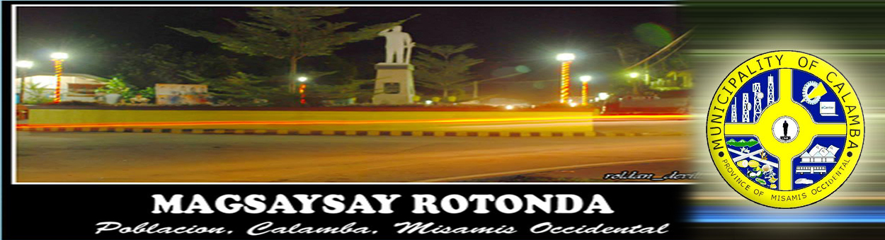
Barangay Solinog is geographically located along the national Highway leading from Oroquieta City to Poblacion Calamba. It is bounded on the east by Brgy. Sulipat, west by Brgy. Don Bernardo A. Neri, south by Brgy. Sulipat, north by Brgy. Northern Poblacion and Calaran. Its an urban barangay of the municipality of Calamba.
Political Subdivision
In the mid-60’s, Solinog was became barangay of Calamba, with boundaries mentioned-above. Solinog is divided into four puroks, Purok I, II, III, & IV. There was no available data as to the exact date and legal basis as to the creation of the said barangay.
Land Area
Barangay Solinog is one of the 19 barangays of the Municipality of Calamba, has an estimated land area of 3.337126 sq. kms or 333.71 has. , distributed to the four puroks and it is more or less 3% of the total land area of the municipality.
Topography and Land Classification
Barangay Solinog has a combination of hilly and a flat terrain. Hilly terrain is along the bank of Langaran River. Sloping categories as to 3%-8% gently sloping to undulating slope. As to the land classification, it is classified as residential, commercial and agricultural areas.
Soil Types
There are two soil types present in the municipality, the castilla clay loam and the guimbaloan clay loam.
Climate and Rainfall
Climatologically elements that have direct impact on agriculture production are rainfall and typhoon.
Calamba’s climate belongs to the fourth type with no pronounced dry and wet season. Rainfall is fairly distributed throughout the year. Rainiest month is in the last quarter of the year from October to December. The driest month is from February, March and April.
General Land Uses
Geographical Location
Barangay Solinog is geographically located along the national Highway leading from Oroquieta City to Poblacion Calamba. It is bounded on the east by Brgy. Sulipat, west by Brgy. Don Bernardo A. Neri, south by Brgy. Sulipat, north by Brgy. Northern Poblacion and Calaran. Its an urban barangay of the municipality of Calamba.
Political Subdivision
In the mid-60’s, Solinog was became barangay of Calamba, with boundaries mentioned-above. Solinog is divided into four puroks, Purok I, II, III, & IV. There was no available data as to the exact date and legal basis as to the creation of the said barangay.
Land Area
Barangay Solinog is one of the 19 barangays of the Municipality of Calamba, has an estimated land area of 3.337126 sq. kms or 333.71 has. , distributed to the four puroks and it is more or less 3% of the total land area of the municipality.
Topography and Land Classification
Barangay Solinog has a combination of hilly and a flat terrain. Hilly terrain is along the bank of Langaran River. Sloping categories as to 3%-8% gently sloping to undulating slope. As to the land classification, it is classified as residential, commercial and agricultural areas.
Soil Types
There are two soil types present in the municipality, the castilla clay loam and the guimbaloan clay loam.
Climate and Rainfall
Climatologically elements that have direct impact on agriculture production are rainfall and typhoon.
Calamba’s climate belongs to the fourth type with no pronounced dry and wet season. Rainfall is fairly distributed throughout the year. Rainiest month is in the last quarter of the year from October to December. The driest month is from February, March and April.
General Land Uses
General Land Uses | Area In Hectares | Percentage |
| Residential Land | 11.10 | 3.33% |
| Commercial Land | 1.47 | 0.44% |
| Institutional | 2.28 | 0.68% |
| Open Space | 1 | 0.30% |
| Agricultural Area, Watershed Area and Othes Land Uses | 317.86 | 95.25% |
Total | 333.71 | 100% |
- Details
- Hits: 17203


