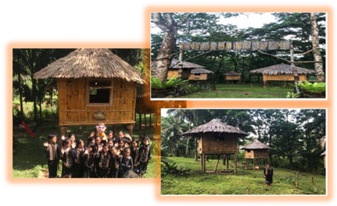
Babalajan Mek Salabuk is located in barangay Mamalad of this municipality and is 11 km away from the town proper. It shows how subanen village looks like. It will help bring us back to the past living condition of the subanen people and be oriented to its culture.
Misamis Occidental is a province located in the northern part of Mindanao, Philippines. One of the hidden gems in this province is the Subanen Village, which is home to the Subanen indigenous people. The village is situated in the municipality of Calamba, which is about 11 kilometers from the town proper.
The Subanen people are known for their unique customs, traditions, and way of life. They have lived in harmony with nature for centuries and have preserved their cultural heritage through oral traditions and practices. Today, the village is a living testament to the Subanen's rich culture and traditions, which have been passed down from generation to generation.
One of the most fascinating aspects of the Subanen Village is their traditional houses, known as "torogan." These houses are made of bamboo, wood, and other natural materials and are designed with intricate carvings and colorful decorations. The torogan serves as the center of Subanen community life, where important ceremonies and gatherings take place.
Aside from the torogan, visitors can also witness the Subanen's traditional dances and music. The Subanen people are known for their lively and colorful dances, which are often accompanied by the kulintangan, a set of brass gongs played by skilled musicians.
The Subanen Village also offers a unique culinary experience for visitors. The Subanen cuisine is a fusion of local and indigenous flavors, which are cooked using traditional methods. Some of the popular dishes include pinakbet, a vegetable stew made with local vegetables and seafood, and kinilaw, a raw fish salad seasoned with vinegar and spices.
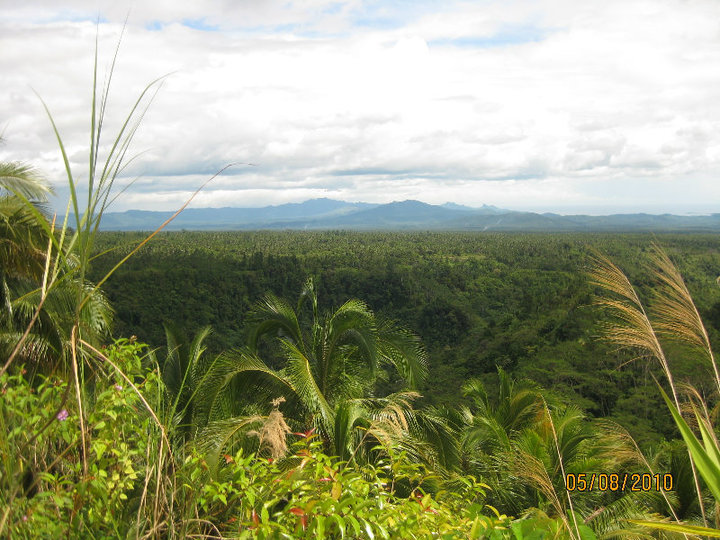
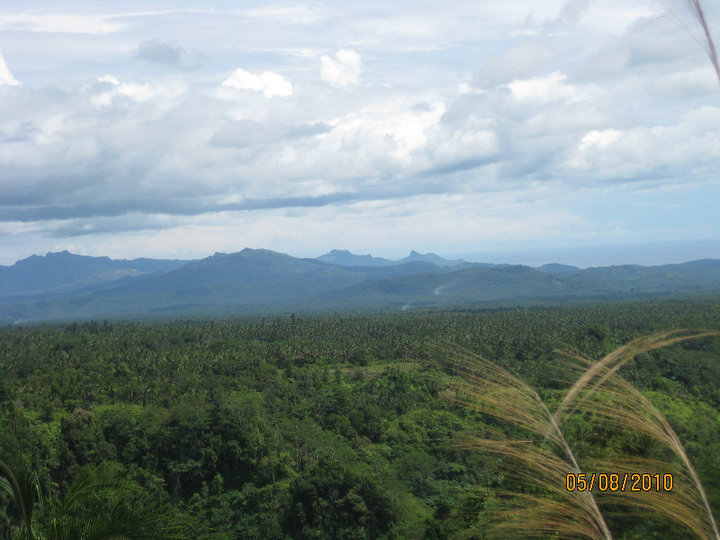
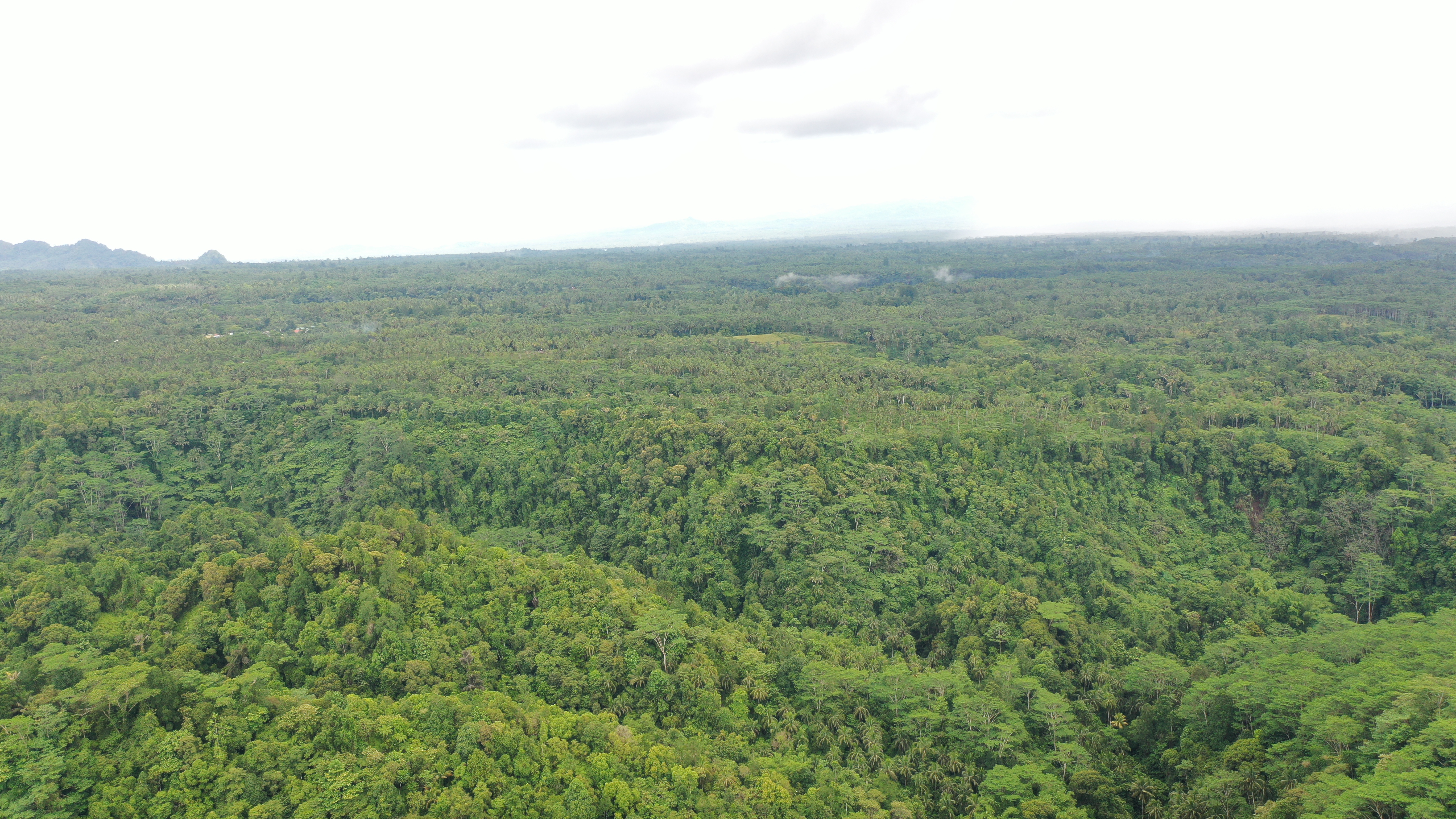
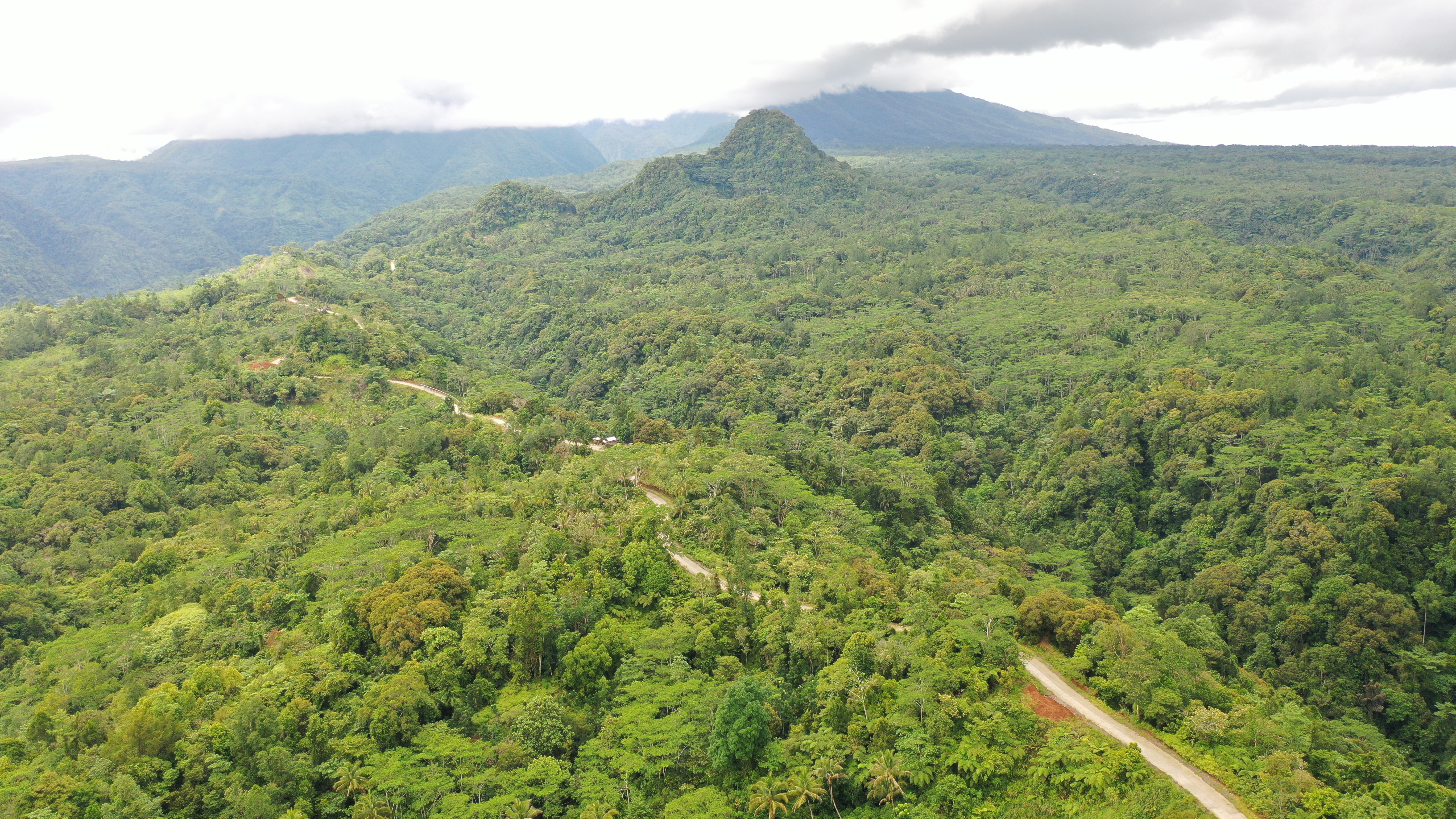
In addition to cultural experiences, visitors can also explore the natural beauty of the Subanen Village. The village is surrounded by lush forests, rolling hills, and pristine rivers, which are home to various wildlife species. Visitors can go trekking, bird-watching, and fishing, and experience the Subanen's deep connection to the environment.
Overall, the Subanen Village in Misamis Occidental is a must-visit destination for those who want to experience the unique culture and traditions of the Subanen indigenous people. The village offers a glimpse into a way of life that has remained unchanged for centuries and provides an opportunity for visitors to connect with nature and appreciate the beauty of the Philippines' rich cultural heritage.
Also, found in this barangay is a Highland Park. It is potential for eco-tourism development. As of the moment, the local government is still planning on how to develop it more. If you’re the type of traveler who loves doing adventures and mountain climbing, then this place is perfect for you.
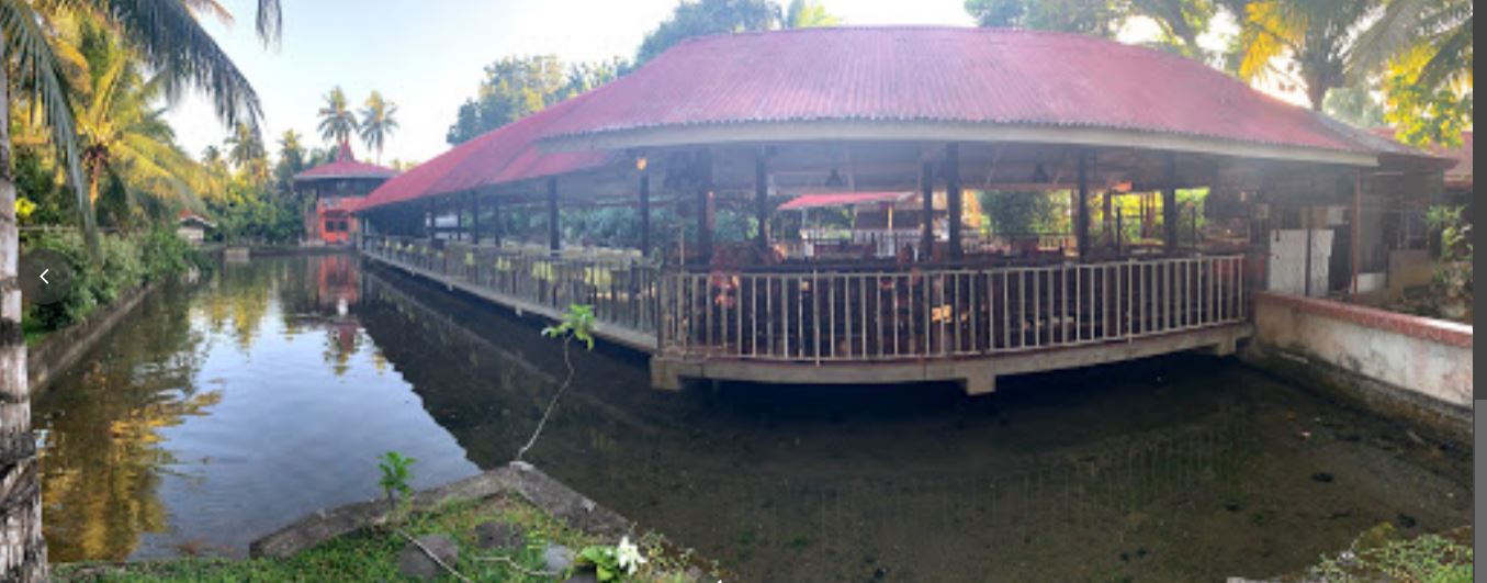
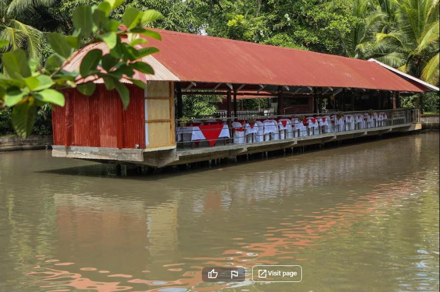
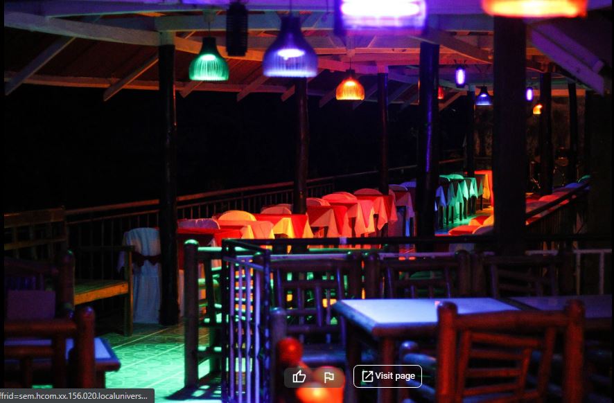
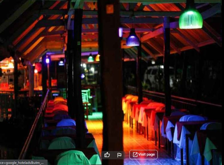
Come see and enjoy jcon farm, you will find relaxation, enjoyment and the best Tilapia in Philippines. This place will help you unwind with pure fresh unpollutedair.Located along the National Highway of barangay Calaran. This destination offers you a relaxing place surrounded by tilapia fish pond. In here, guests are able to experience their mouth-watering specialty, tilapia in different menus.